
Looking Up Your Inglewood Neighbors
A block lookup has a defined first move: find the target parcel, capture its AIN, then inspect the polygons that share a boundary or face the street. The county Assessor map answers where parcels sit. The city GIS gallery can add council, ZIP, zoning, and municipal layers. Haines directories can show a listed subscriber at an edition date. Permits and code files may show project parties. Each source describes a block from a different angle.
| Source | What it shows about a block | Access |
|---|---|---|
| Assessor parcel map | Boundaries, adjacent AINs, situs addresses | Free web map |
| Assessor roll | Assessed owner and mailing destination where authorized | Office or data channel; no web owner display |
| City GIS and ZIP map | Jurisdiction, ZIP, council and geographic context | Map gallery and request route |
| Haines reverse directory | Dated listed subscriber by address or phone | Inglewood Library; three editions |
| Qualified voter file | Authorized registration address and precinct fields | Purpose-based application only |
| Permit or code file | Work, responsible party, status, and chronology | OpenGov or focused request |
| Neighborhood Watch | Voluntary block contact route | IPD Community Affairs, 310-412-5530 |
The table is a block-routing guide, not a list of names. It keeps neighbors research tied to the record a custodian actually releases.
Note: A block worksheet should keep AIN, situs, date, and jurisdiction together before any name-based clue is considered.
Inglewood Neighbors: Click Parcels Around an Address
Open the LA County Assessor Map Search, locate the target by address or AIN, and zoom until parcel outlines are clear. Click the target to confirm its AIN. Then click each shared-boundary polygon and each parcel across the street. Record AIN and situs first. A map outline is a land unit, not a household.
- Search the normalized address in the Assessor Portal and save the AIN.
- Open Map Search and confirm the target outline and map reference.
- Click shared-boundary and across-street parcels, saving each AIN and situs.
- Add city GIS layers for ZIP, council district, zoning, and municipal context.
- Use an authorized owner route only if a recorded-property question requires it.
No verified public radius or buffer owner-report tool was found. Manual map browse is the supported method. It is slower, but it keeps a block list tied to visible parcel boundaries rather than an invented distance.
Make an AIN Block List
An AIN block list makes a neighbor search auditable. Write the target AIN, each adjoining AIN, situs address, street side, map date, and jurisdiction. Add the ZIP only as postal context. At an edge, check whether a parcel is incorporated Inglewood, Los Angeles, or unincorporated Lennox. A mailing label with an Inglewood ZIP does not settle the city line.
The county parcel map supplies geography. The Assessor web card supplies characteristics and values. Owner information remains an offline or authorized question. Deeds are searched by named party and year in Norwalk, not by address on the web. For a current block view, do not substitute a historical directory or a permit applicant for a resident.
- AIN
- Los Angeles County’s parcel identifier.
- Situs
- The physical location of a parcel.
- Parcel
- A mapped land unit that can contain one or more structures or units.
- Buffer
- A geographic area around a point; no verified public owner-report buffer tool was found for this research.
Once the list is stable, decide whether the question concerns current parcels, a historical block, a civic contact, or one person. The answer determines the next custodian.
Why the Inglewood Neighbors Map Hides Owners
Los Angeles County keeps address mapping and owner-name publication separate. The Assessor Portal accepts an address or AIN and can display parcel details, but it does not offer owner-name search or display owner names online. The recorder’s index is public but not Internet-published because protected officials’ home addresses can appear. A block map therefore cannot become a complete owner directory by clicking every polygon.
If a title question genuinely requires a name, ask the Assessor about an authorized public counter or data channel. Then search the named party in the RR/CC grantor and grantee index by recording year. Keep the source date and role. An assessed owner is not necessarily an occupant, and a mailing address is not a household roster.
This separation is part of an accurate neighbor lookup, not a missing feature to work around with guesses.
Note: The Assessor map shows parcels, while ownership and occupancy require separate access routes and careful labels.
Read Historical Inglewood Neighbors in Haines Order
Inglewood Public Library confirms three Haines reverse directories covering areas around Inglewood. Ask for the exact editions and years because the official FAQ does not enumerate them. Read the street section around the target number, copy nearby entries, then check the alphabetical half for names and initials. Haines reflects listed subscribers at an edition date, not every person in a home.
The 1929 Inglewood city directory adds name-first entries with occupation, spouse or widow notation, and home address. Pair that year with the 1930 census when a block history needs household relationships or owner and renter status. The 1912 Sanborn map can test whether an early building and number existed before either directory.
A missing entry can mean omission, nonresponse, a move, a name change, or a different directory scope. Record each explanation as a possibility and seek a second dated source.
Inglewood Neighbors: Voter Data Limits
California My Voter Status authenticates one person with name, birth date, and identifying fields. It can return that person’s status, registered address, party preference, polling place, and election details. It does not allow the public to browse neighbors by street, block, or ZIP.
Qualified voter files under Elections Code section 2194 and 2 CCR sections 19001 through 19013 are limited to permitted election, scholarly, journalistic, political, or governmental purposes. A qualified user may receive approved address, precinct, registration, participation-history, or district fields, but sensitive identifiers and signatures are excluded. Safe at Home and other protected records receive special treatment. Participation history shows that a ballot was credited, never how it was voted.
A voter-file request is therefore a restricted record path, not a neighbor-finding shortcut. Use the ordinary status page for the person checking their own registration and do not infer present occupancy from list status.
Inglewood Neighbors: Neighborhood Watch
Inglewood Police Department’s Burglary and Auto Theft information directs residents who want to form a Neighborhood Watch Block Club to Community Affairs at 310-412-5530. Police Community Centers host neighborhood-watch meetings. This is a voluntary contact route for people who choose to participate, not a public member roster.
Beat structure supplies another civic route without naming households. City directory material lists Beat 1 at 424-750-9185, Beat 3 at 310-330-5330, and Beat 4 at 323-418-8828, with current assignments worth confirming. Council districts and named local areas such as North Inglewood, Downtown or Market Street, Morningside Park, Carlton Square, Briarwood, Century Heights, and the Hollywood Park or SoFi area are geographic or civic context. An address does not prove association membership.
The city’s Neighborhood Watch information is the appropriate source for forming a block club or asking about a current contact route.
Note: A block club is a voluntary civic contact route, not a public list of participating households.
Bounded Inglewood Lookups Near a Block
Some official searches may appear in a neighbor research folder, but their scope must stay narrow. The Los Angeles County Sheriff Inmate Information Center covers current county custody. California CIRIS covers current state custody. Megan’s Law publishes a legally defined registry with a public-safety disclaimer. PACER covers federal court dockets. None is a complete list of people near an address, and none should be treated as evidence of a neighbor relationship.
The LASD inmate search is the source for county custody fields.
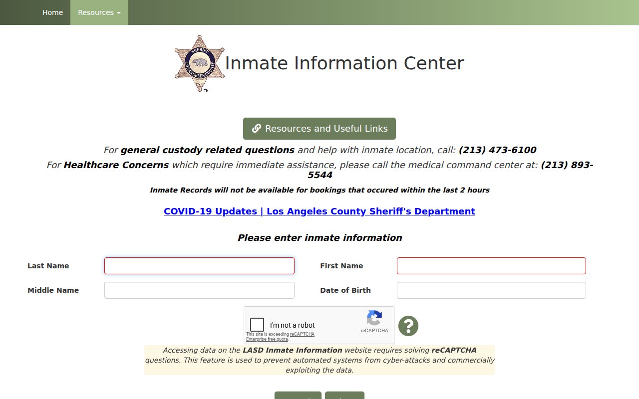
The county-custody image shows a bounded search form, not a block directory.
California Megan’s Law warns that data can change, some registrants are not displayed, and misuse for crime or harassment can bring civil and criminal consequences.
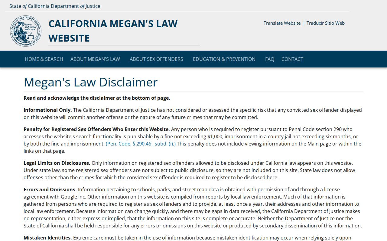
The registry image belongs with the legal-use boundary, not with a claim about who lives on a block.
Inglewood Neighbors: County and Federal Scope
Custody and court systems use different jurisdictions. LASD covers county custody, while CIRIS returns current California state custody with name, CDCR number, age, location, commitment counties, admission date, and parole-hearing information. PACER covers federal civil, criminal, and bankruptcy dockets through the Central District of California. A result in one system cannot be silently joined to another by name alone.
California CIRIS is the state custody source.
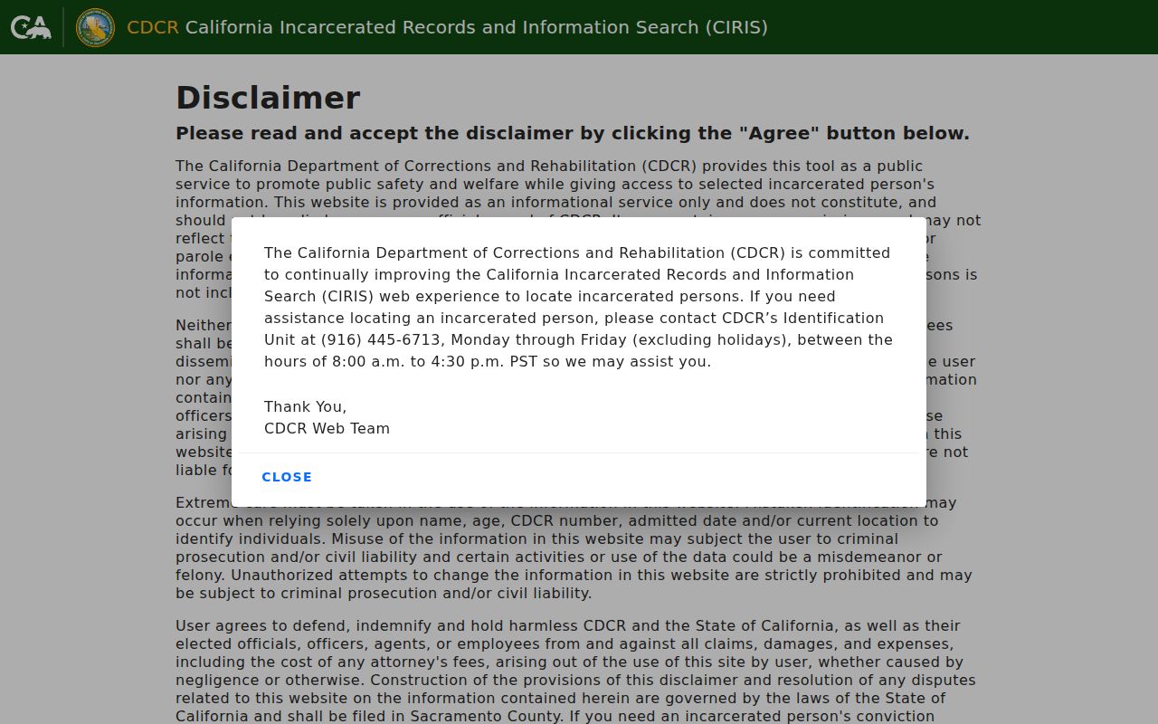
The CIRIS image emphasizes the state-level scope and current-custody limit.
PACER is the federal docket route, while the Central District of California supplies the court’s local identity. Federal access requires an account and can charge by page-equivalent, subject to current rules.
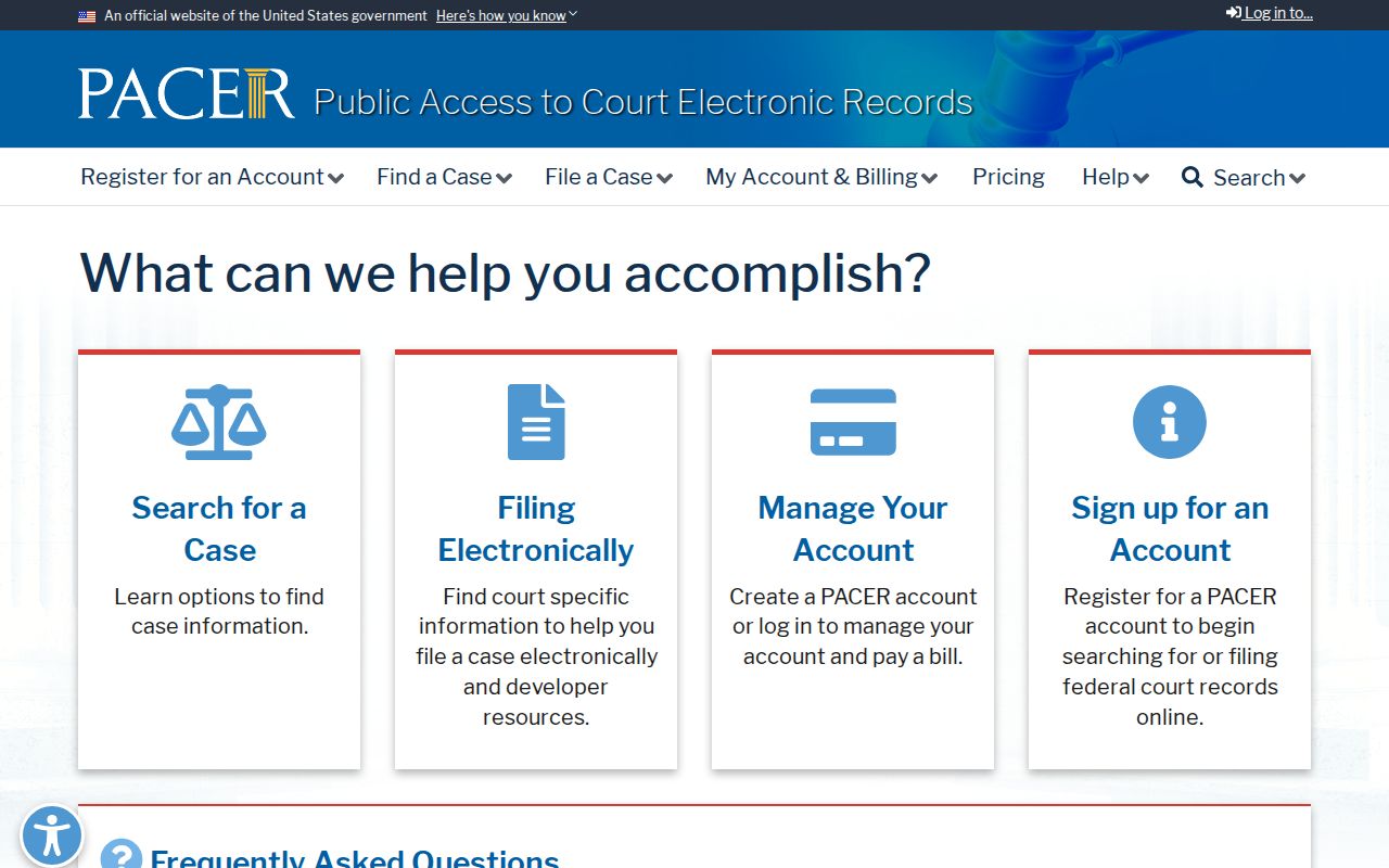
The federal-court image shows a separate jurisdictional path, not a source of household neighbors.
The Central District of California court site supplies the local federal-court context for Los Angeles County matters and should be checked alongside PACER when a federal docket is relevant.
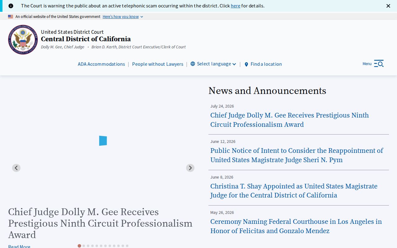
The district-court image confirms the court’s jurisdictional identity while keeping federal case research separate from a neighborhood claim.
Official Records Versus Commercial Neighbor Tools
Commercial neighbor tools often merge deeds, marketing data, and purchased lists. They can confuse an owner with a resident, a mailing address with a situs, or an old record with a current connection. The original custodian is slower but carries the record’s date, scope, and correction path. If a compiled result conflicts with a county, city, court, or state record, the original office controls.
| Question | Official route | What to label |
|---|---|---|
| Which parcels touch? | Assessor Map Search | Geographic adjacency |
| Who is assessed? | Authorized Assessor access | Assessment relationship and date |
| Who was listed historically? | Haines or city directory | Edition-date subscriber or entry |
| Which civic contact exists? | Neighborhood Watch or city beat | Voluntary public route |
Do not ask an official source to create a roster it does not keep. Ask for the specific parcel, map, permit, case, or public contact record that exists.
Note: Compiled neighbor data can merge dates and roles, so an original custodian remains the correction path.
Privacy Limits on an Inglewood Neighbor Lookup
Renters, relatives, lodgers, unlisted subscribers, utilities customers, DMV customers, protected voters, and Safe at Home participants may not appear in a block search. Deed ownership does not identify all occupants. City neighborhood names do not prove association membership. A public map does not authorize disclosure of a protected location.
When the record stops, let it stop. Verify a doubtful fact with the custodian, keep identifiers and dates, and use the Inglewood street directory for a full named-street parcel chain rather than extending a block clue beyond its scope.